Qualicum Beach, British Columbia
Higson Court
A quiet townhouse community of mature gardens and winding walkways, a short walk to the beach.
The complex
A little history
Higson Court, at 240 Higson Crescent in beautiful Qualicum Beach, began life as The Ben Bow Inn back in late 1920s, turning up in local directories in 1932.
For thirty-eight years it ran as a summer retreat including a coffee house out on the highway (now Deez Bar and Grill) and cabins under the firs, leading to a sandy beach complete with rowboats.
Today, the original Inn is gone having burned to the ground in 1978. In 1981 ten townhouses were built within sight of where it stood.
-
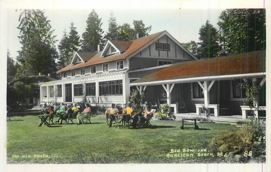
The Ben Bow Inn in its heyday, photographed for a Van-Isle Photo postcard around 1940, when L. Phillips was the proprietor. -
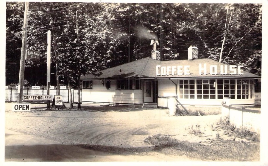
The coffee house out on the highway, lunches and ice cream, with the Ben Bow Inn sign hanging at the gate. -
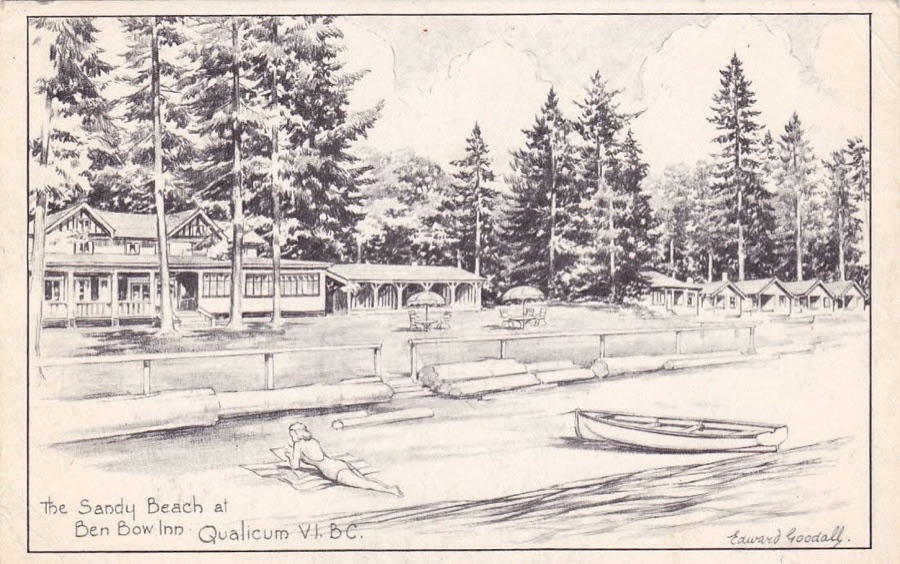
The sandy beach below the inn, drawn by the Victoria artist Edward Goodall: the lodge, the cabins under the firs, and a rowboat up on the sand.
Photo tour
A walk through the grounds
Owners are encouraged to customize and take pride in their personal and courtyard gardens. The last three frames step out through the gate, to the beach at the end of the road.
-
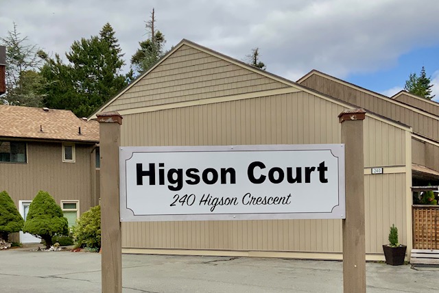
1 / 17 The entrance on Higson Crescent -
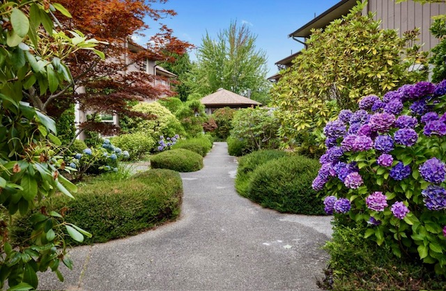
2 / 17 The main walk, under the maples -
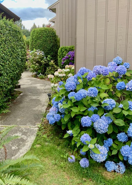
3 / 17 Blue hydrangeas crowd the side path -
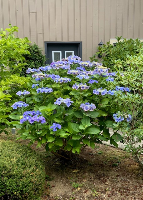
4 / 17 A lacecap in full flower -
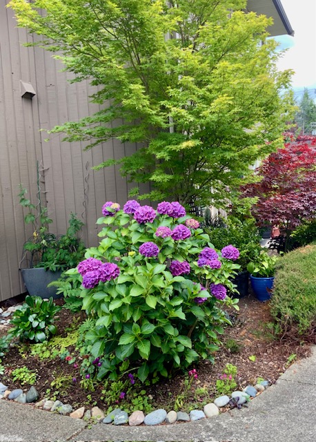
5 / 17 Purple mopheads under a golden maple -
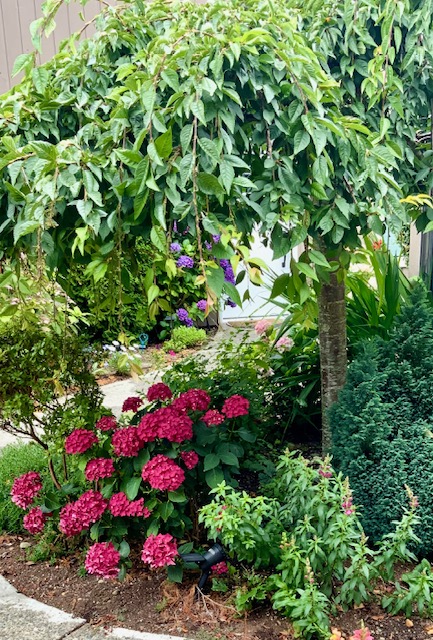
6 / 17 Magenta hydrangeas below the weeping tree -
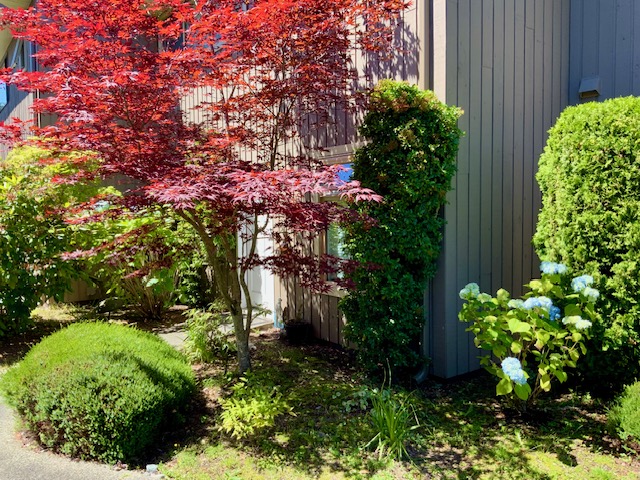
7 / 17 A red maple at the corner of the building -
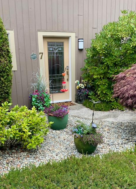
8 / 17 Number 7, early in the season -
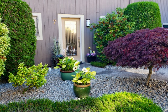
9 / 17 …and the same doorstep in high summer -
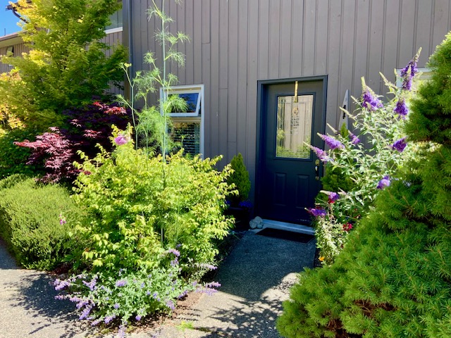
10 / 17 A navy door behind the buddleia -
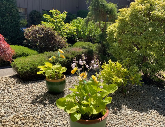
11 / 17 Hostas in flower on the gravel -
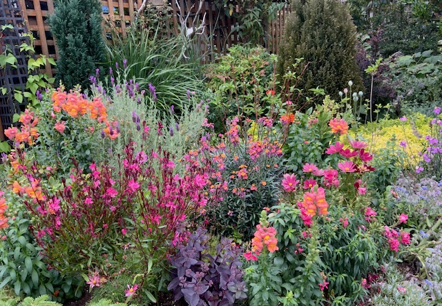
12 / 17 The border at its August peak -
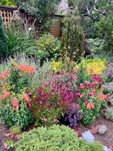
13 / 17 The same border, from the corner -
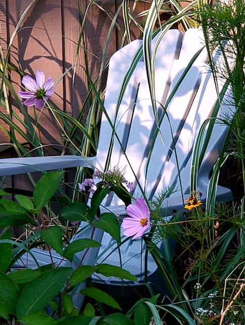
14 / 17 A chair kept for the evening sun -
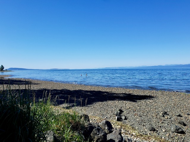
15 / 17 The beach, a few minutes' walk away -

16 / 17 Sunset over the Strait of Georgia -
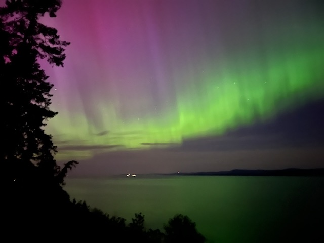
17 / 17 Northern lights over the water
Photo 1 of 17
Find us
240 Higson Crescent
Higson Crescent is a short loop off West Island Highway (Old Island Highway 19A), on the sea side of the road.
Directions: Google Maps Apple Maps Map data © OpenStreetMap contributors · tiles by OpenFreeMap
What's within walking distance
Select one to trace its route on the map. Times are for an unhurried walk.
Look around
The courtyard walk
Standing on the path between two rows of units. This one moves in every direction: drag it up, down and all the way around to look behind you, or walk it round with the arrow keys .
Loading the 360° view…